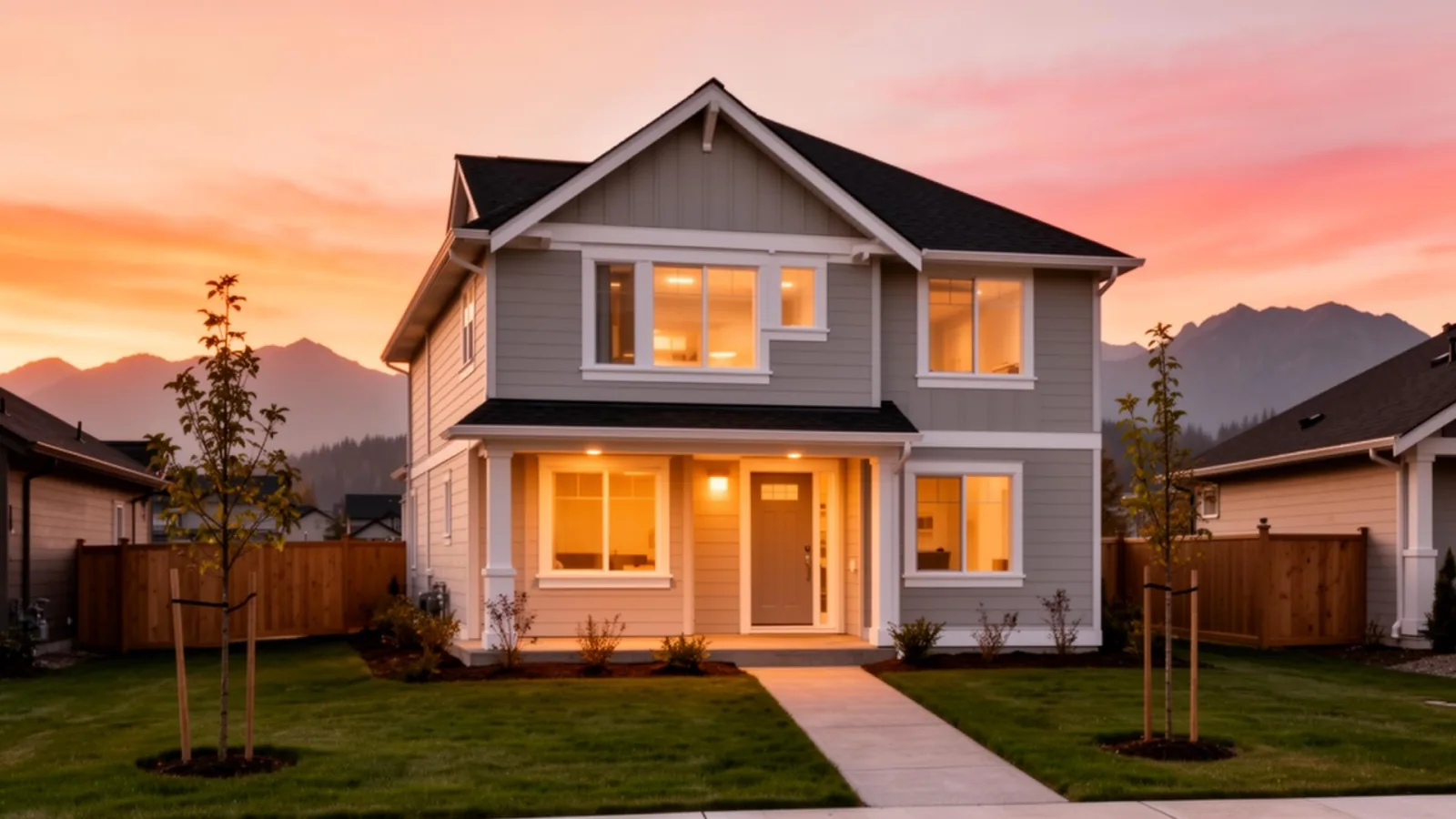
Abbotsford at a glance
Abbotsford is the central Fraser Valley city formed on January 1, 1995 by the amalgamation of the District of Abbotsford and the District of Matsqui, both originally incorporated in 1892. At merger the new city had a population of approximately 100,000, the District of Matsqui was the larger of the two at ~68,000 in 1991, with the District of Abbotsford at ~19,000 in 1991. Both districts had grown rapidly in the five years before merger (Abbotsford 28%, Matsqui 32% between 1986 and 1991), and the combined city has continued to grow substantially since.
Today Abbotsford is BC's fifth-largest city with a population well above 150,000, and the central anchor for the Fraser Valley. Highway 1 runs east-west through the city, the only FRIVE-served Fraser Valley municipality with major freeway frontage along its length. The Abbotsford International Airport (YXX) is BC's second-busiest passenger airport after Vancouver International. The University of the Fraser Valley has its main campus here. The Abbotsford Regional Hospital is a Fraser Health-operated facility serving the eastern Fraser Valley.
The Matsqui legacy in the modern city
Even thirty years after the merger, the Matsqui name persists in real and important ways. The Matsqui Prairie is the substantial agricultural area in the western part of the city. The Matsqui First Nation reserve is on the Fraser River north of central Abbotsford. Many local roads, parks, and references still use the Matsqui name. For buyers, the practical implication is that "Abbotsford East" tends to correspond to the historic District of Abbotsford footprint and "Abbotsford West / Central / Matsqui" tend to correspond to the historic District of Matsqui footprint, and the two halves of the city retain somewhat distinct local character despite three decades of unified municipal government.
Geography and the airport question
Abbotsford sits south of the Fraser River, with Mission directly across the river via the Mission Bridge (Highway 11). Chilliwack borders to the east, Langley Township to the west, and the US border (Sumas / Huntingdon crossings) to the south. The southern part of the city, Sumas Prairie, is reclaimed lake bed below sea level, drained and dyked for agriculture. The November 2021 atmospheric-river flooding that briefly re-flooded parts of Sumas Prairie was a national news event and is a real consideration for buyers in that part of the city; flood-construction-level rules and dyke status are appropriate due-diligence items for any Sumas Prairie property.
The airport (YXX) is in the south-central part of the city, near the US border. It operates scheduled flights to several Canadian and US destinations, and hosts the annual Abbotsford International Airshow each August. In September 1984, the airport hosted an open-air Mass led by Pope John Paul II that drew over 200,000 people, one of the largest single gatherings in BC history. For buyers, airport proximity is both an amenity and a noise consideration for specific addresses under flight paths.
How the neighbourhoods are organised
Abbotsford has 9 MLS-defined neighbourhoods:
- Urban core: Central Abbotsford (historic Abbotsford downtown), Abbotsford East, Abbotsford West
- Western pockets: Aberdeen, Bradner (rural / agricultural)
- Northern / central agricultural: Matsqui, Poplar
- South-eastern: Sumas Mountain (residential hillside), Sumas Prairie (agricultural)
Each has a distinct character and price point. The urban-core neighbourhoods (Abbotsford East, Abbotsford West, Central Abbotsford) deliver townhouse and condo inventory at workable Fraser Valley price points. The rural and agricultural pockets deliver larger lots, working farms, and different daily logistics. See the individual neighbourhood pages for detail.
Schools
Abbotsford sits in School District 34. Major secondary schools include Abbotsford Senior Secondary, W.J. Mouat Secondary, Robert Bateman Secondary, Yale Secondary, and Rick Hansen Secondary. Elementary catchments vary widely by neighbourhood. Always confirm with the SD34 school locator before you offer.
Getting around
Highway 1 westbound is the main connector to Langley, Surrey, and Vancouver, with the 264 Street and 232 Street interchanges in Langley as the main westward access points. Drive times to downtown Vancouver are typically 75 to 110 minutes at peak depending on bridge traffic. There's no commuter rail option, the West Coast Express does not serve Abbotsford. For most Abbotsford workers, jobs are within the city, in Chilliwack, or in Mission across the river. For Vancouver-bound commuters, the daily distance is substantial.
What to weigh, honestly
The honest case for Abbotsford is the combination of city-scale services (hospital, university, airport, regional shopping), freeway access, and Fraser Valley pricing. For buyers who value those city services and don't require a daily Vancouver commute, Abbotsford is a strong choice.
The honest case against is the Vancouver commute reality (long, no rail alternative), the city's geographic spread, and the ALR-driven constraints in the western and southern agricultural areas. None of those make Abbotsford wrong, but they make the right buy a specific neighbourhood matched to a specific lifestyle. See the neighbourhood pages for where the actual decisions get made.
For current Abbotsford market context, benchmark prices, sales-to-active ratios, where the city sits in the Fraser Valley, see our monthly Fraser Valley market update on the journal.