What defines Northwest Maple Ridge
Northwest Maple Ridge is the established residential pocket between the Town Centre and the Pitt Meadows boundary, adjacent to the historic Hammond neighbourhood at its southwest corner. The MLS area covers settled detached subdivision streets, scattered townhouses, and a buyer pool that skews family-oriented.
The single most useful fact for commuters: the Maple Meadows West Coast Express station sits just across the Pitt Meadows boundary at 22150 Lougheed Highway, within 5-15 minutes by car of most Northwest addresses. For Vancouver-bound commuters who can align with the peak-direction schedule, rail access is one of the area's defining amenities.
What the housing looks like
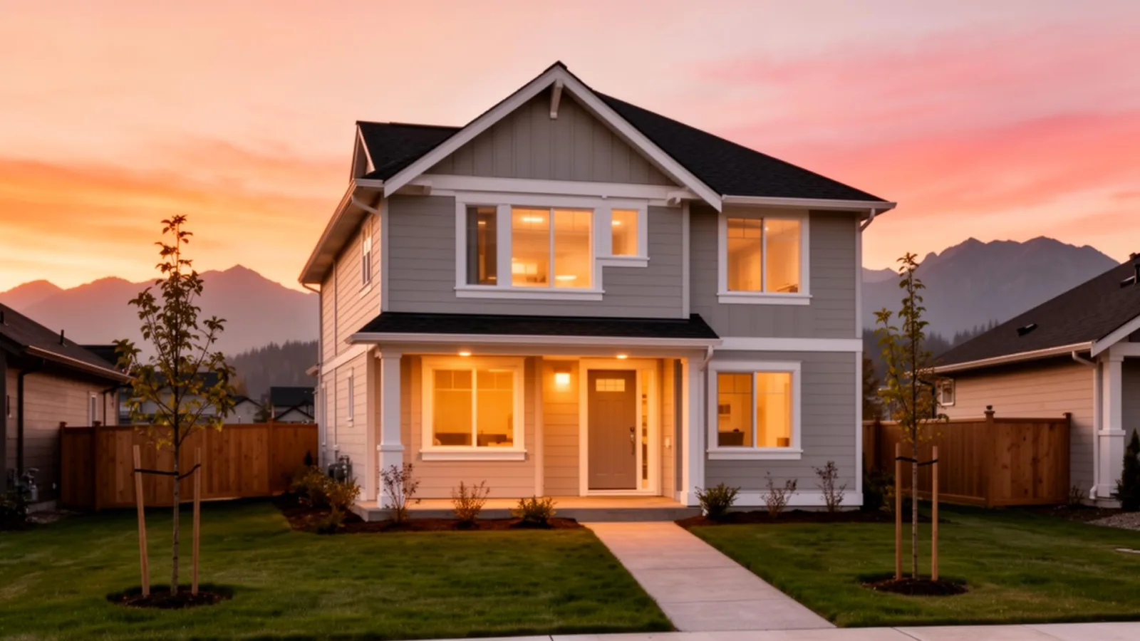
A mix of older 1970s-1990s detached on subdivision streets, infill detached construction from the 2000s and 2010s, and scattered townhouse complexes. Lot sizes typically 5,000-8,000 square feet for the established streets, with some larger and some smaller infill lots. The buyer experience varies meaningfully by specific street; the established 1980s subdivisions feel different from the post-2010 infill pockets.
For first-time buyers, townhouses in some Northwest pockets can fit the BC first-time buyer PTT exemption thresholds. Detached homes generally sit above first-time-buyer ranges.
Hammond Area Plan adjacency
The historic Hammond neighbourhood at Northwest's southwest corner is governed by its own Area Plan, which was updated by Council in November 2025 alongside the Town Centre and Silver Valley updates. For buyers near the Hammond fringe, the Area Plan map matters because it sets the framework for what's allowed on neighbouring properties over the coming years.
Schools and rec
School District 42 (Maple Ridge, Pitt Meadows) covers Northwest. Common elementary catchments include Hammond Elementary and Glenwood Elementary depending on the specific address. Maple Ridge Secondary is the main secondary catchment. Always confirm with the SD42 school locator.
For recreation, the Maple Ridge Leisure Centre is in the Town Centre, a short drive east. The Fraser River trail and Hammond historic waterfront sit at the southwestern fringe.
Getting around
Closer to Vancouver than the eastern Maple Ridge neighbourhoods. The Pitt River Bridge is the main Vancouver-bound connector, accessed via Pitt Meadows. The Lougheed Highway runs east-west through the area for cross-municipality trips. The Maple Meadows West Coast Express station is the rail option.
Buyer concerns we always check here
For older detached, the standard inspection list by construction era, roof, electrical, plumbing material (poly-B in 1980s-1990s homes), perimeter drains, potential oil-tank history. For townhouses, depreciation report and strata document discipline. For any property near the Hammond fringe or northern rural transition, the relevant Area Plan or ALR designation.
What to weigh, honestly
The honest case for Northwest is the rail-commute access combined with settled neighbourhood character, established detached streets without the rapid-construction reality of Albion or Silver Valley. For family buyers prioritising quiet residential streets with weekday Vancouver rail commute, Northwest is one of Maple Ridge's quieter strong options.
The honest case against is the older housing stock on average and the more limited brand identity compared to the named eastern growth corridors. None of this is a problem for the right buyer; it just means due diligence on the specific property is what carries the buy.
For current Northwest market context, see our monthly Fraser Valley market update on the journal.