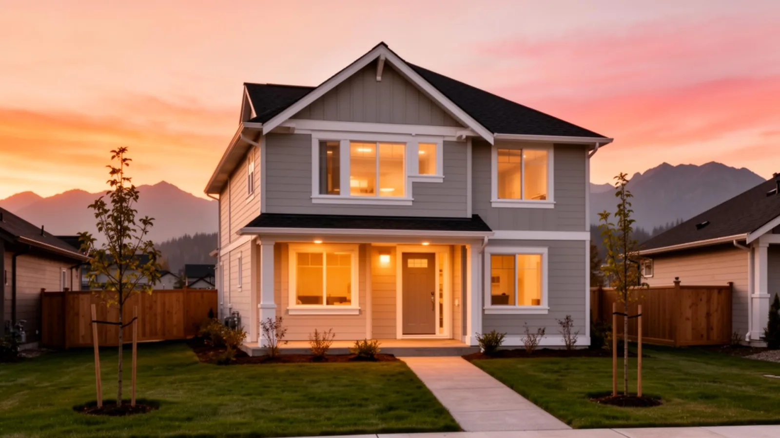
What defines Mission-West
Mission-West is the western Mission MLS area covering Silverdale and Ferndale, near the Maple Ridge boundary. It's a transition area, partly established rural-residential detached, partly post-2000 infill, partly long-term OCP growth node. The buyer experience depends heavily on which specific street you're on.
For commuters, Mission-West is closer to the Maple Ridge boundary, the Pitt River Bridge, and Vancouver than central Mission. The trade-off is greater distance from the Mission City West Coast Express terminus, Maple Meadows in Pitt Meadows is sometimes the more practical rail option for Mission-West buyers.
What the housing looks like
Established rural-residential detached on larger lots. Post-2000 infill construction in the Silverdale pockets, often three-storey. Larger acreages closer to the Maple Ridge boundary. Construction eras range from 1970s rural-builds through current new construction.
For first-time buyers, newer infill detached at the lower end of the range and townhouses where available can fit the BC first-time home buyers' PTT exemption. Established rural-residential and acreages typically sit above first-time-buyer ranges.
Silverdale OCP growth node
Silverdale is one of Mission's designated long-term growth nodes. The Silverdale Comprehensive Planning Area sets the framework for what gets built over coming decades, density, road network, parks, school sites. Today's Silverdale is partly built, partly future-state. For buyers near the Silverdale core, reading the current OCP map for any specific address is essential.
ALR considerations
Some Mission-West lots sit within or adjacent to the BC Agricultural Land Reserve. ALR designation restricts subdivision and non-agricultural use. Confirm ALR status with the District of Mission and the Agricultural Land Commission before offering on any rural-residential or acreage property. Don't assume, verify.
Schools and rec
School District 75 (Mission) covers the area. Catchments vary by specific address. Confirm with the SD75 school locator. For recreation, the Mission Leisure Centre is in central Mission, and the rural-residential character of Mission-West means private outdoor space is part of the lifestyle for larger-lot properties.
Getting around
Lougheed Highway runs east-west through Mission-West, connecting to Maple Ridge and onward to the Pitt River Bridge. Drive times to downtown Vancouver typically 70-90 minutes at peak. The West Coast Express options are Mission City (15-25 minutes by car) or Maple Meadows in Pitt Meadows (sometimes closer for the western pockets).
Buyer concerns we always check here
For older detached, the standard inspection list by construction era. For acreages and rural-residential, well water condition (flow, potability), septic system condition and capacity, ALR status, and zoning specifics. For Silverdale infill, the OCP designation for neighbouring properties, what could be built next door over the coming years.
What to weigh, honestly
The honest case for Mission-West is Maple Ridge proximity at Mission pricing, for buyers who want the lower-cost Mission market but value closer Vancouver access, the western pockets work. The OCP growth designation in Silverdale also offers long-term appreciation potential as buildout continues.
The honest case against is the in-between feel. Mission-West isn't established the way central Mission BC is, and it isn't as connected as Maple Ridge proper. For buyers who want a defined neighbourhood story, central Mission or Maple Ridge may fit better.
How buyers use Mission-West day to day
The Lougheed Highway is the practical spine of daily life in Mission-West. Most residents route east to Mission for larger grocery runs, services, and access to the Mission City West Coast Express, or west into Maple Ridge for its broader commercial corridor. For buyers whose daily anchor is Maple Ridge, work, school, services, Mission-West often feels more like an extension of Maple Ridge than a Mission neighbourhood.
The rural-residential character of the larger-lot pockets means private outdoor space is genuinely part of the daily routine. Families with kids describe afternoon activity that stays on-property in a way urban-lot buyers in Surrey or Langley simply can't. That space is part of what draws the move-up family buyer profile here.
Silverdale's active development area brings construction activity into the daily-life picture for some addresses. Buyers near the Silverdale OCP growth nodes should expect road improvements, new subdivision buildout, and the associated construction noise in some pockets for years to come. That's a fact of life in a designated long-term growth area, and it's worth walking the specific block before committing.
The resale picture
Mission-West's resale buyer pool is anchored by move-up family buyers who want the Mission pricing advantage with Maple Ridge proximity. That is a real and consistent buyer type in this market. The Silverdale growth designation also attracts some buyers who are specifically betting on the long-term OCP buildout, new amenities, new roads, and the gradual neighbourhood density that tends to follow major OCP commitments.
The rural-residential and acreage inventory at the Maple Ridge boundary attracts a different buyer, typically a family step-up from Maple Ridge detached who wants more land and finds Mission-West pricing more accessible. That buyer pool is smaller but consistent, particularly for well-positioned larger-lot properties.
In our experience, Mission-West resale timing tends to follow the Maple Ridge market rhythm more than the central Mission rhythm. When Maple Ridge detached demand is strong, Mission-West benefits from the spillover. Properties with good road access to the Lougheed Highway and clear documentation on ALR and zoning status tend to move more confidently than those with unresolved land questions.
For current Mission-West market context, see our monthly Fraser Valley market update on the journal.