What defines Langley City
Langley City is the urban-core municipality at the heart of the broader Langley MLS map, physically small, separately governed, and getting a SkyTrain terminus. The City is a self-standing municipality of roughly 10 square kilometres, surrounded on three sides by the much larger Langley Township. It has its own mayor, council, Official Community Plan, and downtown, and it's where most of suburban Langley's existing multi-family inventory actually lives.
For buyers, the City-versus-Township distinction matters more than it sounds. Municipal tax rates differ. Building bylaws differ. Park and recreation infrastructure differs. The kind of housing being built and the kind of housing already built differ. And in the case of Langley City over the next decade, the regulatory direction differs sharply, the City is actively reshaping its zoning and OCP around the incoming Surrey-Langley SkyTrain in a way that the surrounding Township is not.
The SkyTrain reset that's coming
The single biggest fact about Langley City as a housing market right now is the Surrey-Langley SkyTrain extension. The 16-kilometre Expo Line extension will run along the Fraser Highway corridor from King George Station in Surrey and terminate at 203 Street in Langley City Centre, with eight new stations along the route. Two of those stations, Willowbrook (near 196 Street / Fraser Highway) and Langley City Centre (203 Street), sit inside Langley City. Major construction was anticipated to start in late 2024, with the line expected to begin operations by late 2029 per the Province's project documentation.
The provincial estimate is roughly 100,000 new homes to be built within 800 metres of the eight new stations along the corridor, and approximately 20,000 jobs created near them. That's a corridor-scale number, but a meaningful share of it is being directed at the two Langley City stations. The City has been updating its OCP and zoning bylaws to align with the SkyTrain, concentrating new mid- and high-rise residential development around the station areas. For buyers, the practical implication: current pre-sale pipelines, infill assemblies, and rezoning applications in Langley City are unusually active for a Lower Mainland suburb of this size.
What the housing looks like
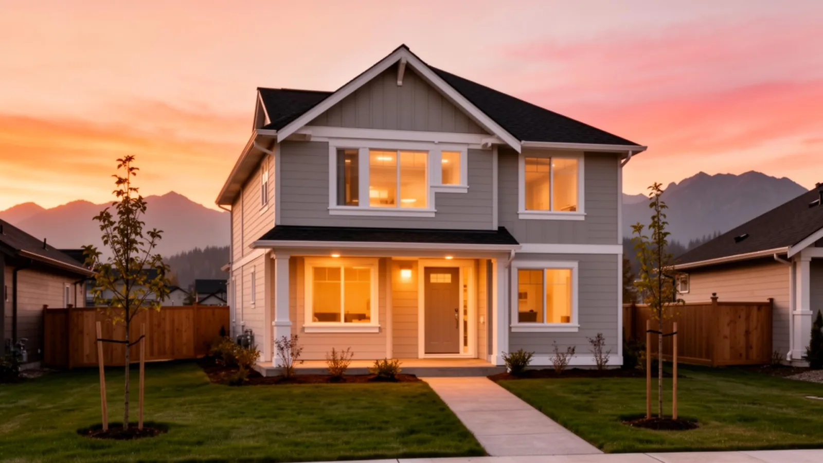
Langley City has the highest share of multi-family housing in the Langley MLS areas. Low- and mid-rise condo buildings make up a substantial portion of inventory, with newer mid-rises filling in around the downtown core and pre-sale projects accelerating near the future station areas. Townhouse complexes, both older 1990s/2000s and newer infill, are a strong second layer. Detached homes exist on smaller urban lots, typically 4,000 to 7,000 square feet, often older 1960s-1980s construction now subject to redevelopment pressure on the lots themselves.
The honest entry-point picture: older Langley City condos remain among the most accessible Langley pricing for first-time buyers, especially in buildings from the 1990s and early 2000s. The trade-off is the older-building maintenance and envelope discipline (see below). New pre-sale condos near the station areas often already price in the future SkyTrain upside, so the buyer is not necessarily getting in ahead of the market on those.
Downtown and Willowbrook
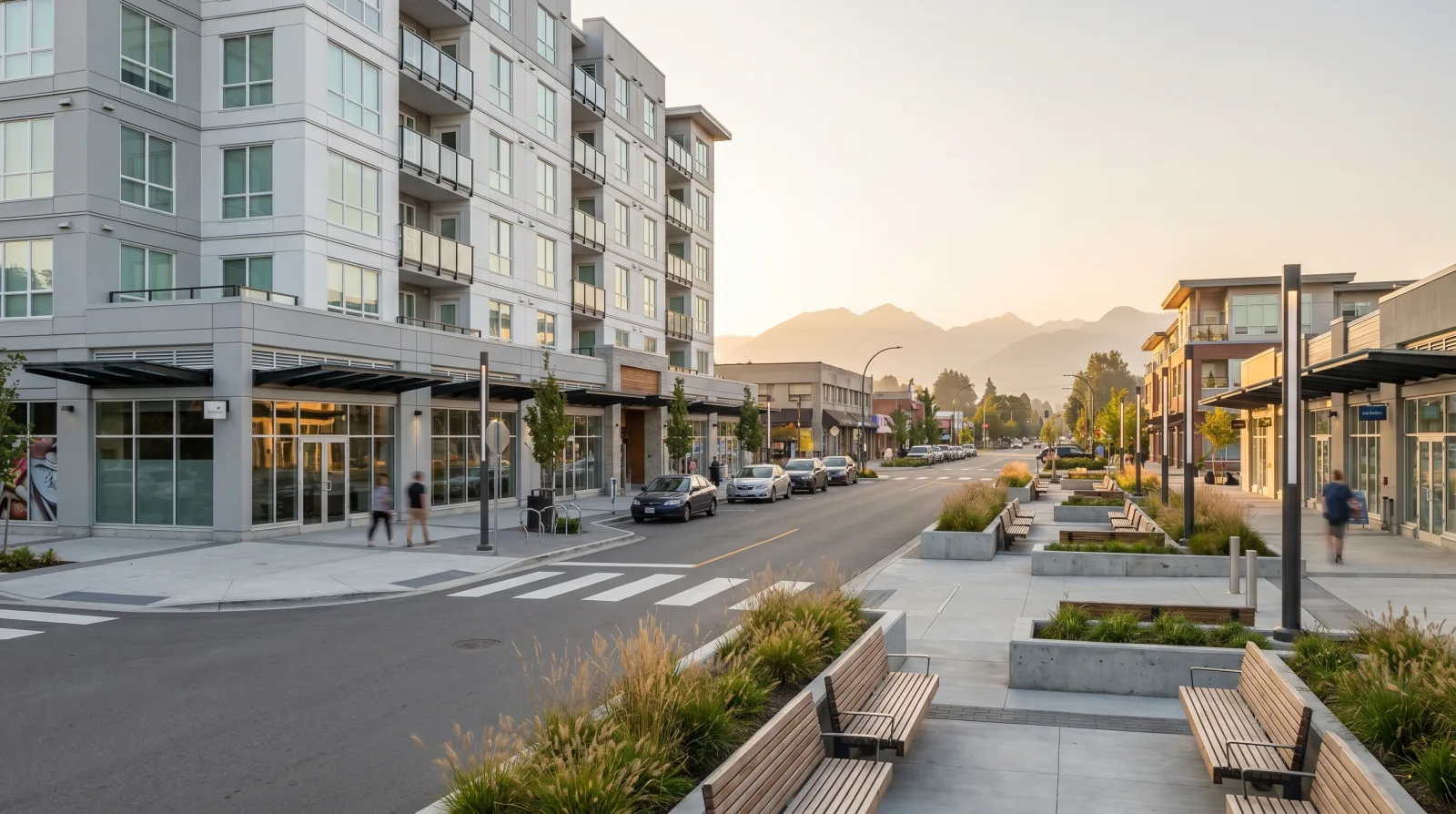
Downtown Langley is the area roughly bounded by Fraser Highway, the Nicomekl River to the south, 203 Street, and the railway lands. By Langley standards it's a real urban-village core, McBurney Plaza for civic events, restaurants, breweries, Saturday markets, and walkable streets with mid-rise buildings on commercial corridors. It's the most genuinely walkable commercial centre in the entire Langley MLS map outside of Fort Langley village.
Willowbrook is the area around Willowbrook Shopping Centre at 196 Street and Fraser Highway, on the east side of the City. The planned Willowbrook SkyTrain station is the catalyst for substantial commercial-to-residential redevelopment in that pocket, buyers tracking pre-sales in the eastern half of Langley City should pay close attention to which side of the station-area boundary specific addresses fall on.
Schools and rec
The City of Langley sits inside Langley School District 35. Common elementary catchments include schools like Douglas Park Community Elementary, Uplands Elementary, and Blacklock Fundamental Elementary, with Langley Secondary (in the City) and Brookswood Secondary (south of the City) as common secondary catchments depending on address. As always, pull the current assignment from the SD35 school locator before you offer.
For recreation, the City operates Timms Community Centre and Douglas Park, and the surrounding Township facilities, W.C. Blair in Murrayville, Walnut Grove Community Centre, are short drives away for buyers who want more recreation depth.
Getting around
Today, Langley City's transit story is bus-based: TransLink's R-line rapid bus and 502 / 503 routes run along Fraser Highway into Surrey and connect to King George Station's existing Expo Line. Drive times to downtown Vancouver typically run 45 to 75 minutes at peak depending on the bridge and the day. The Highway 1 interchange at 200 Street is a few minutes north of the City via 200 Street and 56 Avenue.
After 2029, the SkyTrain terminus changes the math significantly. Per TransLink's project documents, the rail trip from the 203 Street terminus to King George Station is anticipated at roughly 22 minutes, with onward Expo Line service into Vancouver. For commuters and frequent downtown travellers, that's a different city.
Buyer concerns we always check here
For older Langley City condos, the depreciation report and the envelope history are the two most important documents. We pull two years of strata meeting minutes, the depreciation report, the contingency reserve fund balance, any history of building envelope remediation (some BC condos from the 1990s required substantial work), and any pending special-assessment history. EV-charging capacity matters too, many older buildings need substantial electrical upgrades to support widespread EV adoption.
For pre-sale and recently-completed condos in the station areas, we check the developer's track record, the deposit-protection structure (per the BC Real Estate Development Marketing Act), and the construction schedule honestly, pre-sales in TOD areas have historically slipped, sometimes by years.
For detached lots in the City, we check the current and anticipated zoning under the OCP update. A 1965 detached home on a 5,000 square foot lot near a planned higher-density node is a fundamentally different asset from the same physical home on a lot zoned to remain single-family.
What to weigh, honestly
The honest case for Langley City is that it's the most urban, most walkable, most transit-positioned part of suburban Langley, with accessible condo pricing in older buildings and a major rapid-transit upgrade coming online by late 2029 (current target). For a first-time buyer or downsizer who values walkable downtown character and wants to be positioned for the SkyTrain era, very few Langley pockets compete.
The honest case against is the construction-zone reality of the next several years, the project-schedule risk on the SkyTrain itself, and the fact that pre-sale pricing already reflects some of the future transit upside. None of that makes the City wrong, but it does mean a buyer here should understand they're buying into an active, evolving urban core, not a finished product.
For current Langley City market context, benchmark prices, sales-to-active ratios, where the City sits in the Fraser Valley, see our monthly Fraser Valley market update on the journal.